FOR CIVIL ENGINEERS, INFRASTRUCTURE, CORRIDORS
Inspection from above. Coordination on the ground.
Multi-payload aircraft and survey-grade sensors for consulting engineers and infrastructure firms. Bridges and dams, transmission and pipelines, transportation corridors and structural inspection. The same Carto-supplied kit federal and provincial engineers standardize on.
Talk to an Engineering specialist ›FEATURED AIRCRAFT
The three platforms most operators in this segment start with.

DJI ENTERPRISE
DJI Matrice 400
Multi-payload inspection
Carries the Zenmuse P1 for photogrammetry, L2 for LiDAR, or H30 for thermal. One airframe for bridge inspections in the morning, transmission tower work in the afternoon.
View DJI Matrice 400 ›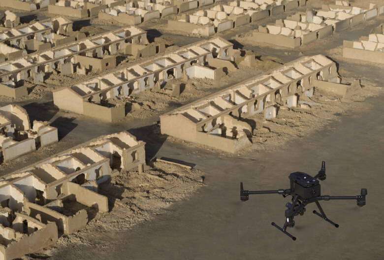
DJI ENTERPRISE
Zenmuse P1
45 MP structural mapping
Full-frame 45 MP with global mechanical shutter for high-precision photogrammetry. Bridges, dams, retaining structures, building facades. The payload engineering firms use when stakes are high.
View Zenmuse P1 ›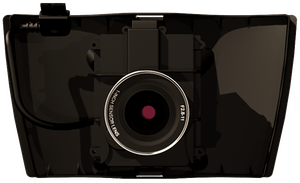
EAGLENXT
EagleNXT Corridor
Linear infrastructure
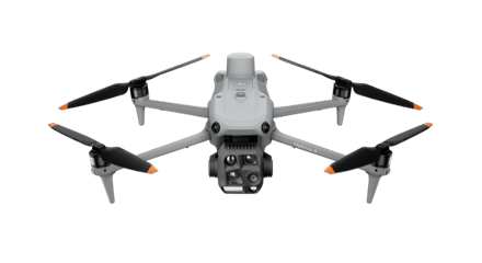
Purpose-built for pipelines, transmission corridors, rail, and highways. Captures continuous high-overlap imagery along linear assets so processing produces tight, accurate corridor models.
View EagleNXT Corridor ›ALSO CONSIDER
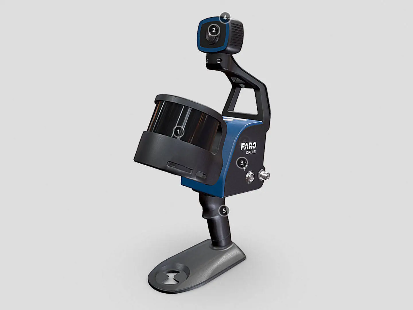
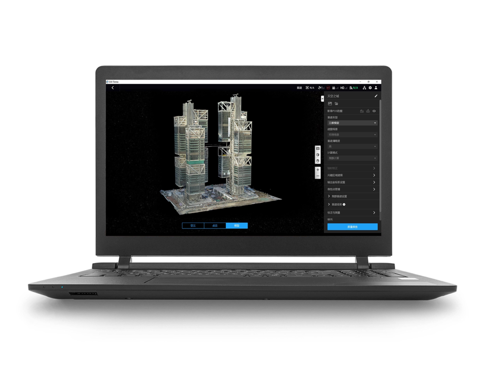
Sensors, software, and supporting kit.
CARTO CANADA, AUTHORIZED DISTRIBUTOR
Not sure which platform fits?
Our team has equipped agencies, contractors, and operators across Canada. We will help you pick the right aircraft, payload, and software for your operation, and stand behind it after the sale.