FOR OPEN PIT, UNDERGROUND, AGGREGATES, QUARRIES
Precision 3D imagery for safety.
Drone-based aerial LiDAR and photogrammetry for stockpile volumes, pit progression, slope stability, and safer site monitoring. Pair the aerial systems with handheld LiDAR for underground and confined-space scanning that keeps surveyors out of harm's way.
Talk to a Mining specialist ›FEATURED AIRCRAFT
The three platforms most operators in this segment start with.

DJI ENTERPRISE
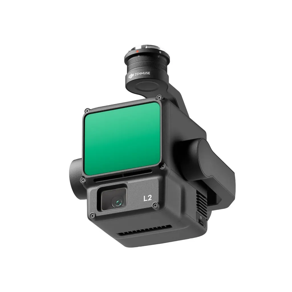
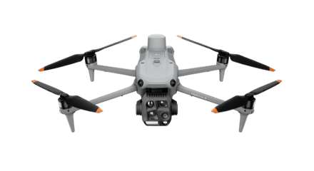
DJI Matrice 400 + Zenmuse L2
Open-pit LiDAR
The Matrice 400 carrying the Zenmuse L2 delivers survey-grade point clouds for stockpile volumes, pit walls, and benches. Plan extraction with confidence, document for compliance, and audit without putting surveyors in active workings.
View DJI Matrice 400 + Zenmuse L2 ›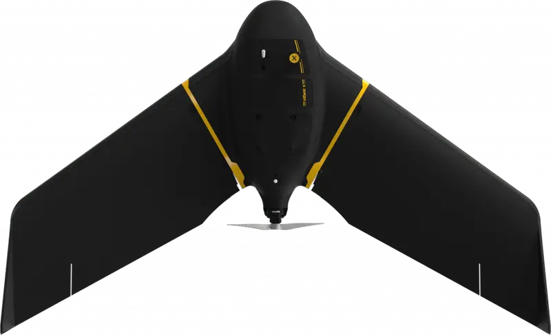
EAGLENXT
eBee X
Site-wide photogrammetry
Single-day mapping of large open pits and tailings facilities. Long endurance, RTK precision, and survey-grade orthomosaics for monthly progression reports without leaving the truck.
View eBee X ›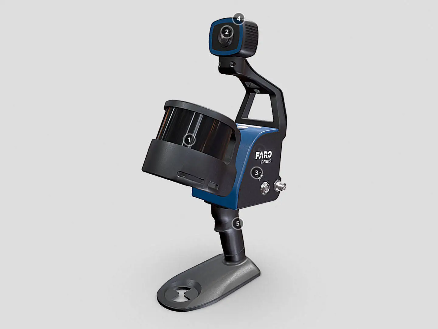
FARO
FARO Orbis
Underground & confined-space LiDAR
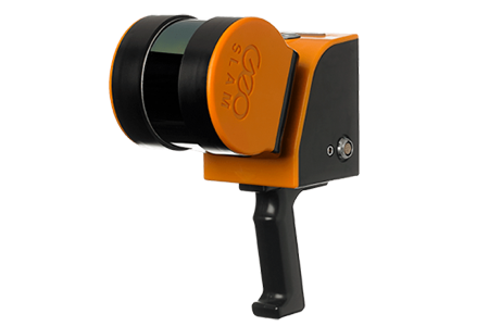
Handheld mobile mapping for headings, stopes, draw points, and crusher rooms. Walk the area, capture in real time, return with a registered point cloud. Keep operators above ground.
View FARO Orbis ›ALSO CONSIDER
Sensors, software, and supporting kit.
CARTO CANADA, AUTHORIZED DISTRIBUTOR
Not sure which platform fits?
Our team has equipped agencies, contractors, and operators across Canada. We will help you pick the right aircraft, payload, and software for your operation, and stand behind it after the sale.