Product Features
The online platform for drone mapping, progress tracking, and site documentation
Process
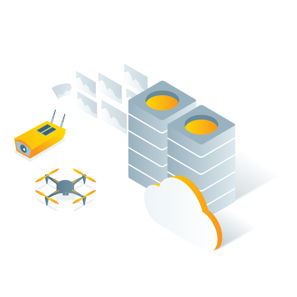
Automatically process your images on the cloud using photogrammetry algorithms to transform them into measurable deliverables.
Generate accurate and georeferenced orthomosaics, 3D meshes, point clouds, and elevation models.
Generate accurate and georeferenced orthomosaics, 3D meshes, point clouds, and elevation models.
Analyze
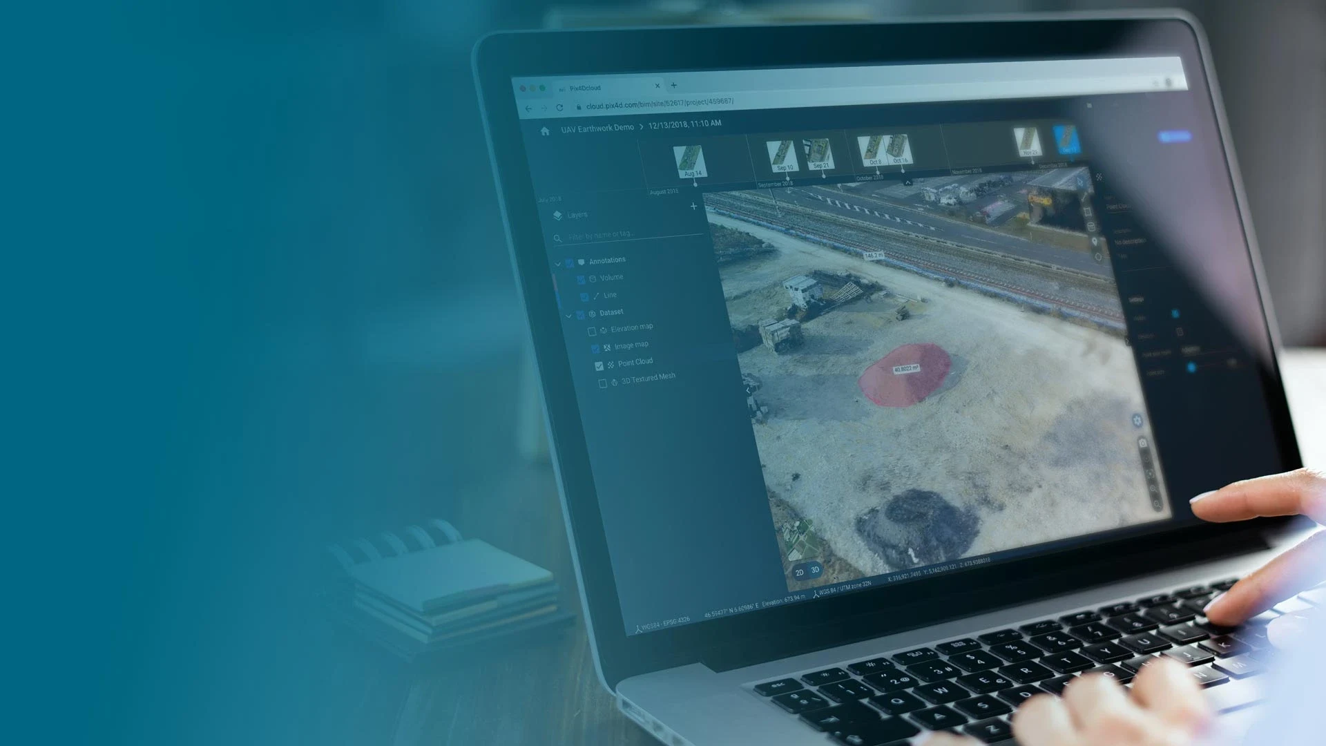
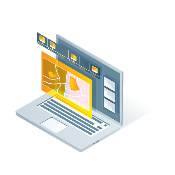
Visualize, monitor and document site progress using an intuitive interface, a timeline, and built-in measurement tools, accessible online from any device or location, on a collaborative cloud-based platform.
Share
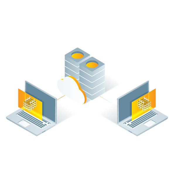
With a simple URL, share the results with your team or clients to ensure seamless information flow and greater collaboration.
Integrate
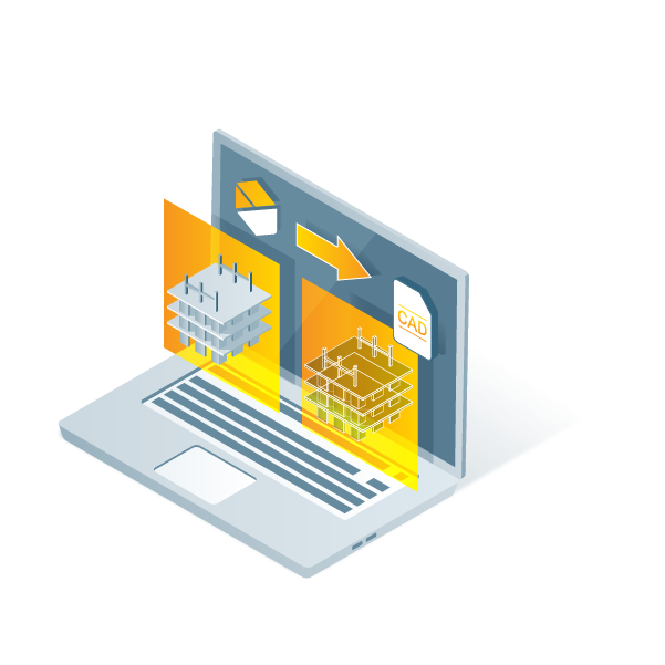
Download all outputs and export to third-party CAD and BIM software for further steps