V360 Weather is a SaaS weather intelligence platform purpose-built for drone operations and mission planning. It delivers real-time surface observations, radar, hour-ahead forecasts, and Go/No-Go mission charts with customizable thresholds for wind, visibility, ceiling, temperature and precipitation. Coverage spans the US, Canada, UK, Central Europe and the Middle East.
Standard Features
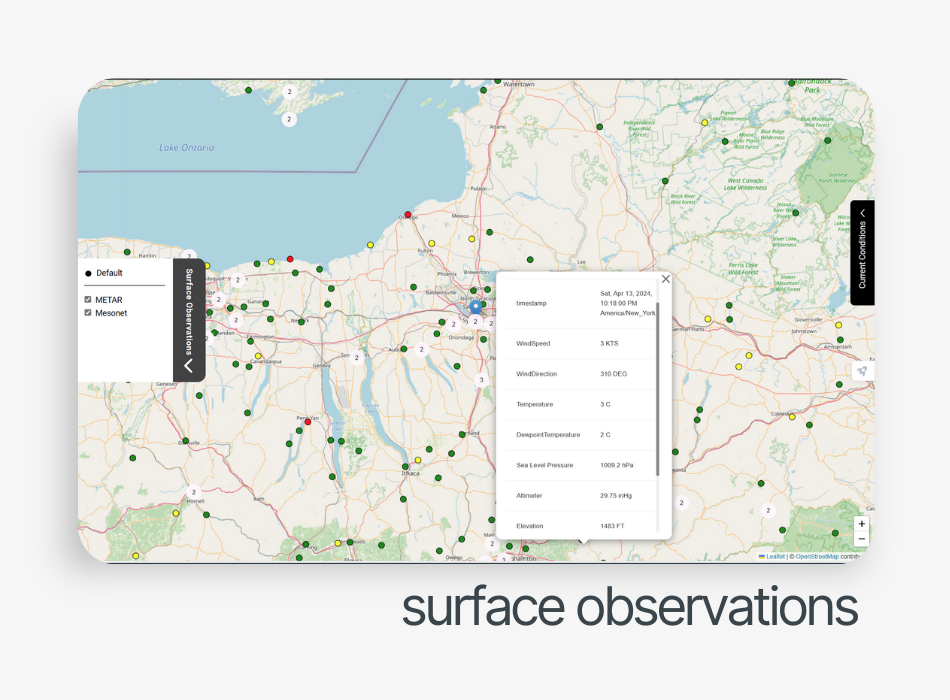
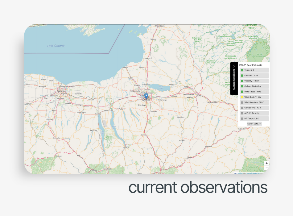
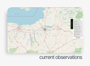
- Real-time Observations - Surface weather from METARs, Mesonet sites, and deployed sensors with color-coded alerts
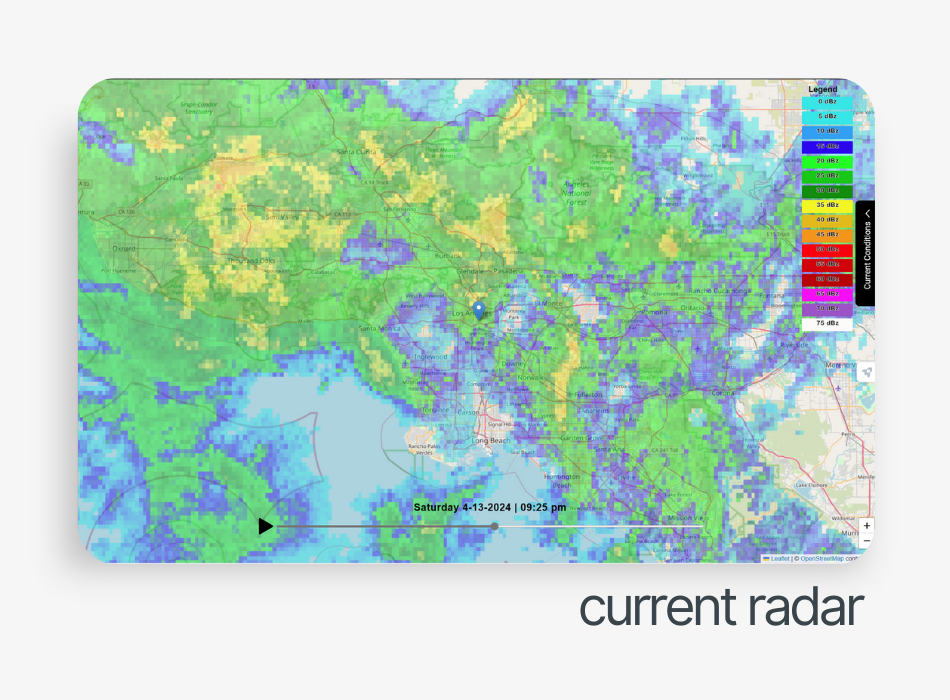
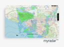
- Current Radar - Two-hour reflectivity timelapse showing precipitation movement and storm direction
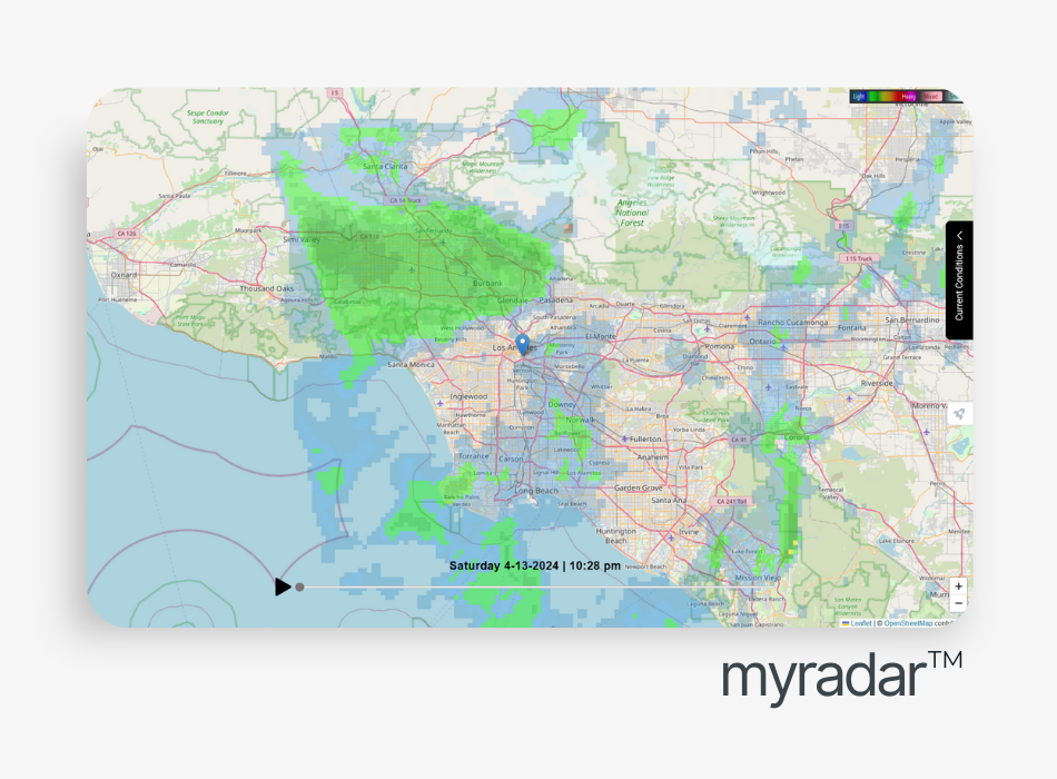
- Hour-Ahead Radar - Predicted weather movement for the next 60 minutes
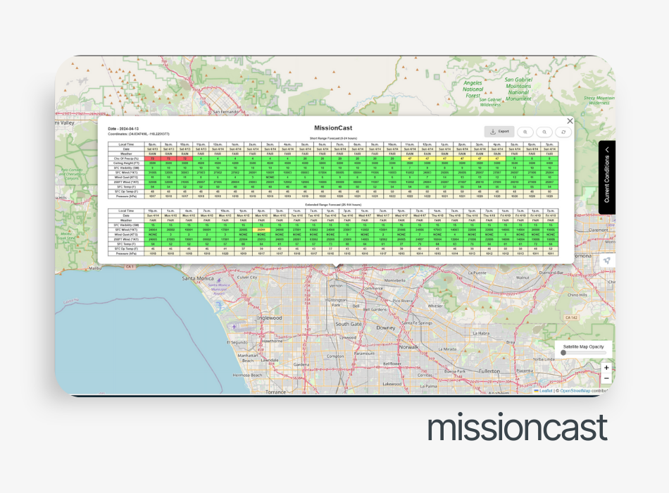
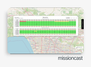
- Go/No-Go Mission Chart - Stoplight chart for takeoff/landing with custom thresholds for precipitation, visibility, winds, temperature and dew point
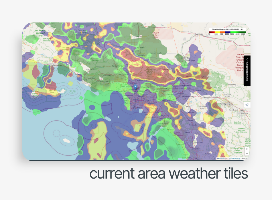
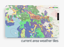
- Weather Tiles - Fused observational and gridded prediction data for ceiling, visibility, temperature and 80M AGL winds
- Blended Weather Reports - Best-estimate reports merging METARs and gridded analysis
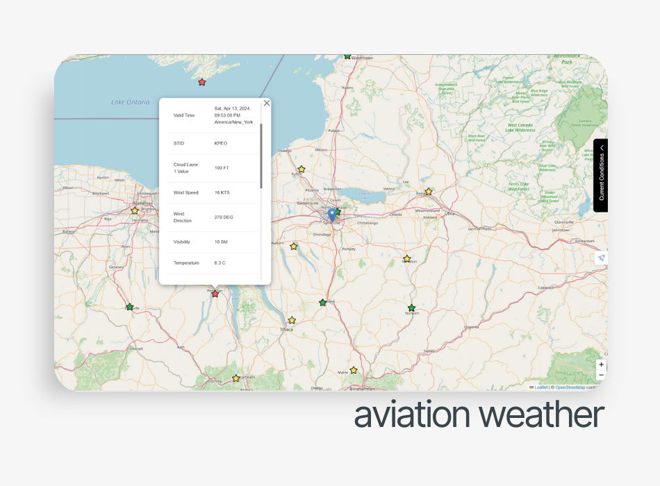
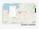
- Aviation Weather - PIREPs, AIRMETs, SIGMETs, METARs and TAFs
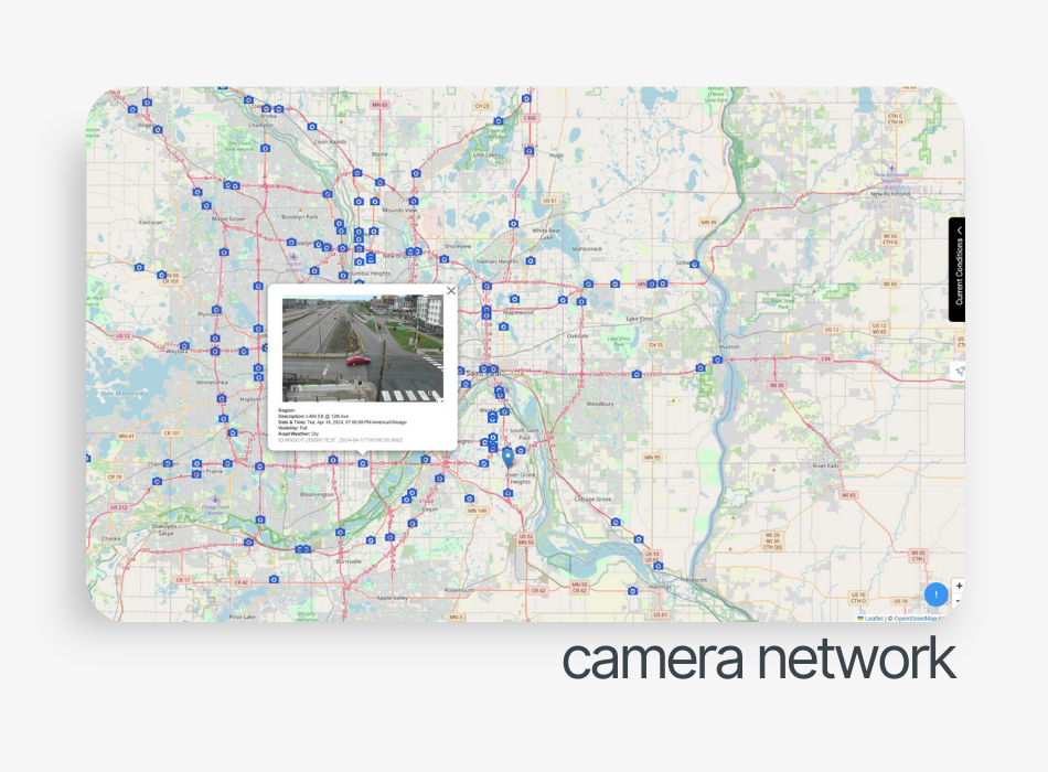
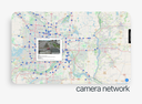
- Camera Network - Analytics from CCTV networks for visibility and road conditions
Premium Add-ons
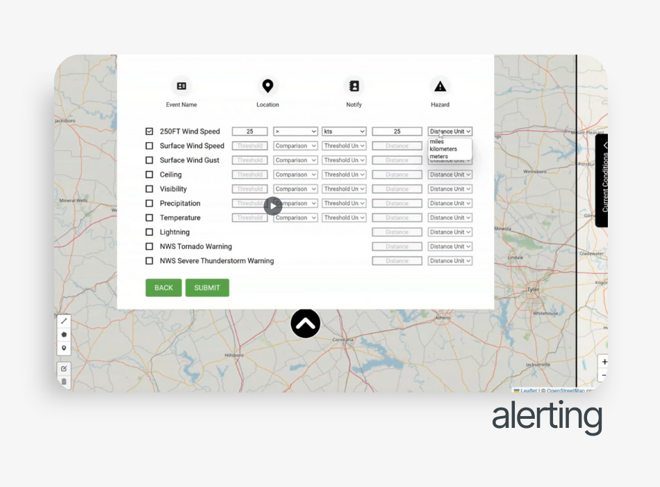
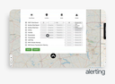
- AlertCAST - Real-time weather alerting engine with customizable thresholds for ceiling, visibility, winds, lightning and NWS warnings
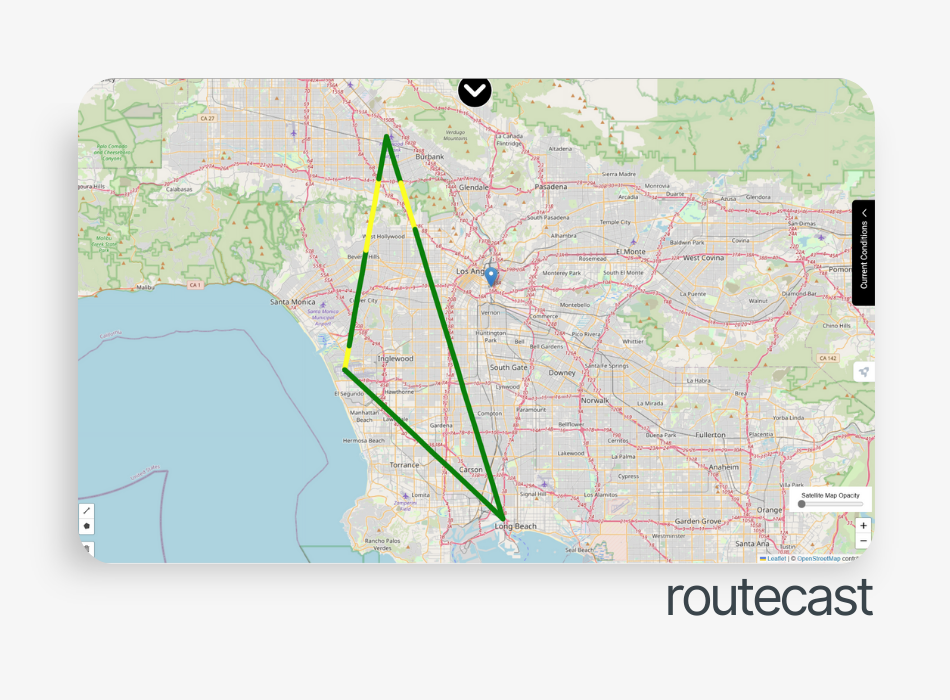
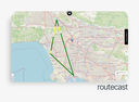
- RouteCAST - Route evaluation tool with waypoint-based wind predictions at 1,000m resolution