
Product Features
Accurate, fast drone mapping on a new scale
 Pix4Dmatic is designed to work with the latest generation of drones for professional applications and transforms your large number of images into accurate point clouds, DSMs and orthomosaics.
Outputs
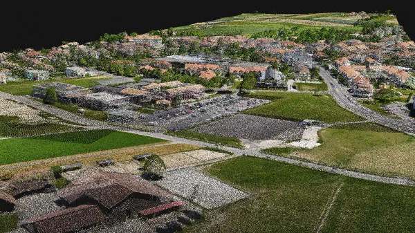
Dense point cloud
Generate dense point clouds for large areas. Pix4D's proprietary .bpc file format is optimized for loading and manipulation of big point clouds.
.las, .bpc
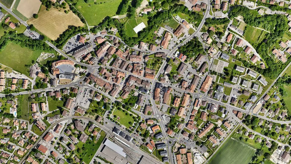
Orthomosaic
Create orthomosaics that are geometrically corrected such that the scale is uniform. They are color balanced in order to be visually pleasing.
GeoTIFF (.tiff)
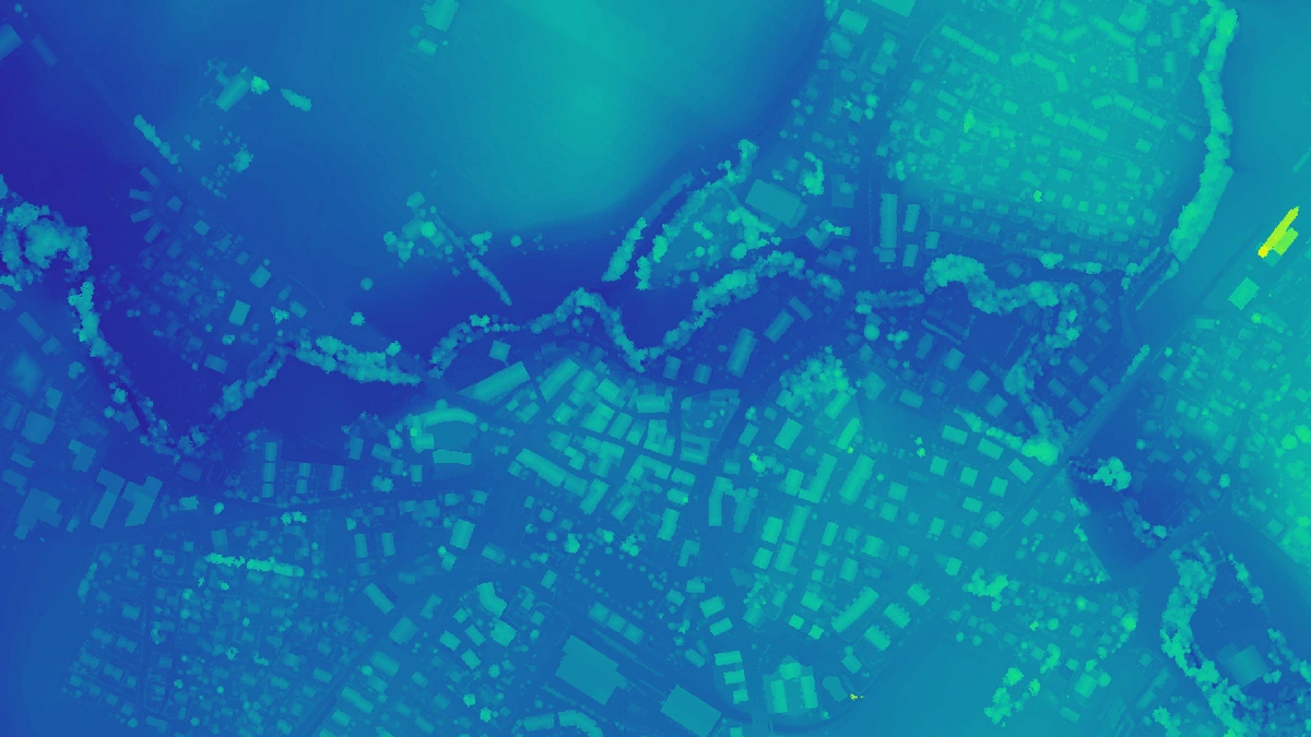
Digital surface model (DSM)
Generate a digital representation of all objects in the mapped area. It includes natural features as well as elevated objects, like buildings.
GeoTIFF (.tiff)
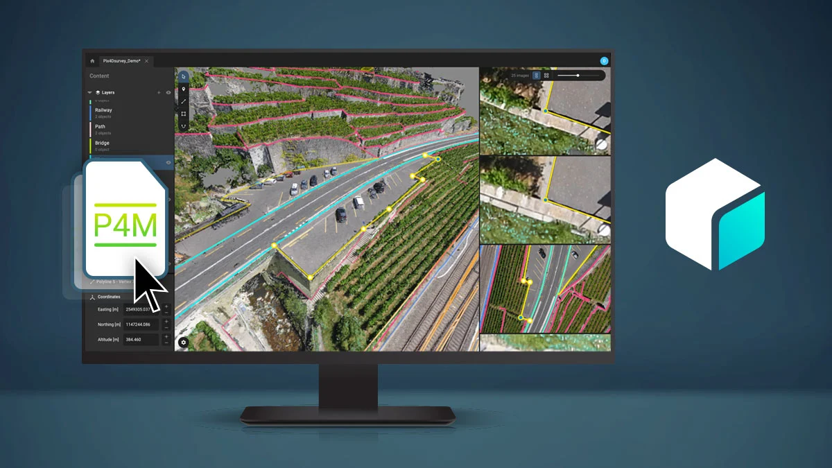
Compatible with Pix4Dsurvey
Seamless export of processed projects into Pix4Dsurvey to transform point clouds into actionable CAD-ready data.
.p4m