FOR GENERAL CONTRACTORS, HEAVY CIVIL, BIM TEAMS
From site survey to as-built.
Capture progress, calculate stockpiles, generate BIM-grade point clouds, and inspect work-in-place — all from a single operator. Aircraft, payloads, and processing software paired for construction workflows.
Talk to a Construction specialist ›FEATURED AIRCRAFT
The three platforms most operators in this segment start with.

DJI ENTERPRISE
DJI Matrice 400
The site monitoring platform
Pair with the Zenmuse L2 for LiDAR, Zenmuse P1 for high-resolution mapping, or H30 Series for thermal inspection. One aircraft, every sensor you need on a complex site.
View DJI Matrice 400 ›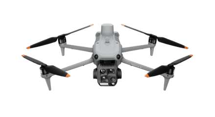
DJI ENTERPRISE
DJI Matrice 4E
Daily site flights
The everyday survey drone for regular progress capture. Mechanical shutter, RTK, and 45-minute flight time at a price point that keeps multiple crews equipped.
View DJI Matrice 4E ›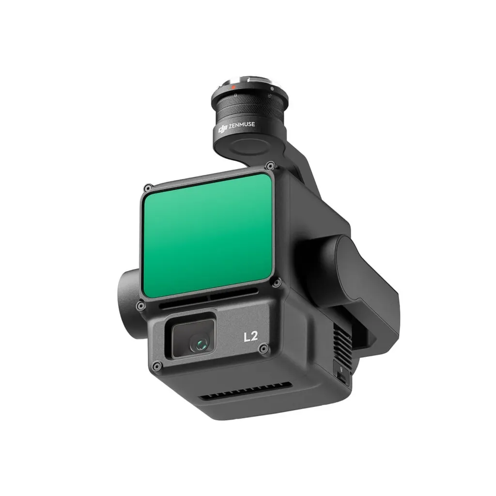
DJI ENTERPRISE
Zenmuse L2
BIM-grade LiDAR
240,000 pts/s, 5 cm vertical accuracy at 150 m AGL. For earthworks volumes, BIM coordination, and as-built documentation.
View Zenmuse L2 ›ALSO CONSIDER
Sensors, software, and supporting kit.

CARTO CANADA, AUTHORIZED DISTRIBUTOR
Not sure which platform fits?
Our team has equipped agencies, contractors, and operators across Canada. We will help you pick the right aircraft, payload, and software for your operation, and stand behind it after the sale.