FOR FOREST MANAGERS, CONSERVATIONISTS, ENVIRONMENTAL SCIENCE
Detailed imagery for planning.
Aerial surveys, canopy LiDAR, multispectral health analysis, and inventory mapping for forest professionals across Canada. Whether you manage a tenure, conduct cruising surveys, or run a conservation program, the aircraft and sensors below are the ones operators in your segment standardize on.
Talk to a Forestry specialist ›FEATURED AIRCRAFT
The three platforms most operators in this segment start with.
DJI ENTERPRISE
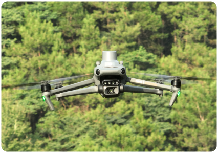
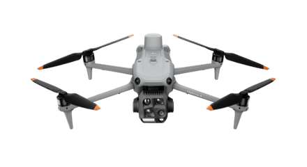
DJI Mavic 3 Multispectral
Forest health from above
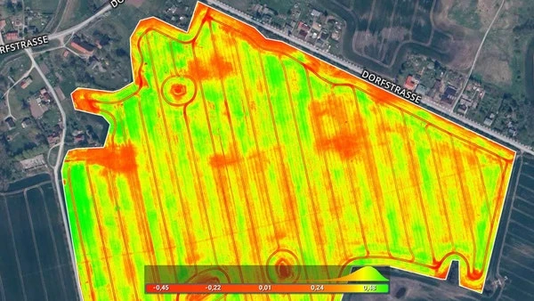
Five-camera multispectral plus RGB in a compact platform. NDVI, NDRE, and canopy health analysis with the fast deploy speed forest crews need when conditions change.
View DJI Mavic 3 Multispectral ›
DJI ENTERPRISE
DJI Matrice 400 + Zenmuse L3
Canopy LiDAR + biomass
The Matrice 400 carrying the Zenmuse L3 delivers high-density LiDAR for canopy structure, biomass estimation, and detailed terrain models under tree cover.
View DJI Matrice 400 + Zenmuse L3 ›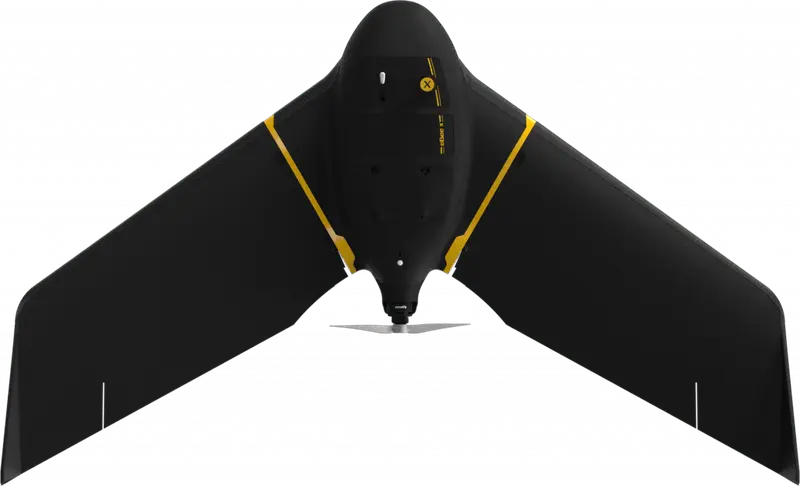
EAGLENXT
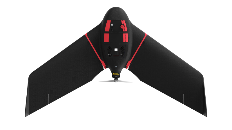
eBee X
Large-area mapping
90-minute endurance fixed-wing for tenure-scale orthomosaics. Pair with the Aeria X for RGB, S.O.D.A. 3D for survey precision, or Duet M for multispectral coverage.
View eBee X ›ALSO CONSIDER
Sensors, software, and supporting kit.
CARTO CANADA, AUTHORIZED DISTRIBUTOR
Not sure which platform fits?
Our team has equipped agencies, contractors, and operators across Canada. We will help you pick the right aircraft, payload, and software for your operation, and stand behind it after the sale.