FOR GEOMATICS, LAND SURVEYORS, ENGINEERING FIRMS
Precision, at scale.
Survey-grade aerial platforms, sensors, and post-processing software for land surveyors, geomatics professionals, and engineering teams across Canada. From fixed-wing photogrammetry to centimetre-accurate LiDAR, paired with the GNSS infrastructure to ground-truth it.
Talk to a Survey specialist ›FEATURED AIRCRAFT
The three platforms most operators in this segment start with.
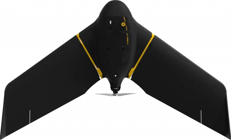
EAGLENXT
eBee X
Long-endurance survey aircraft
The benchmark for large-area survey. 90-minute endurance, RTK/PPK out of the box, interchangeable Aeria X, S.O.D.A. 3D, Corridor, and Duet payloads. The fixed-wing for serious mapping operations.
View eBee X ›
DJI ENTERPRISE
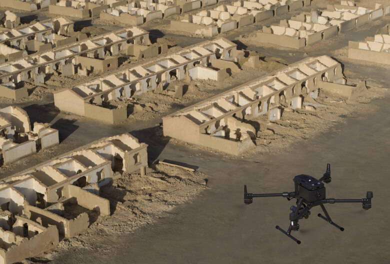
Matrice 400 + Zenmuse L3
Top-tier aerial LiDAR
The Matrice 400 platform paired with the Zenmuse L3 delivers the highest-precision LiDAR data available in a commercial DJI package. For when accuracy and point density are non-negotiable.
View Matrice 400 + Zenmuse L3 ›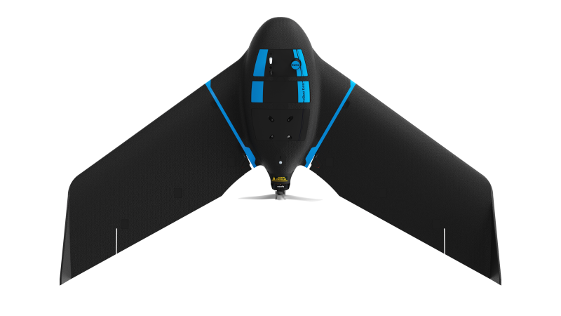
EAGLENXT
eBee Geo
RTK precision, entry tier
Single-frequency RTK fixed-wing for survey-grade orthomosaics and DSMs. Easy to fly, easy to deploy, the right aircraft to put in the field every day.
View eBee Geo ›ALSO CONSIDER
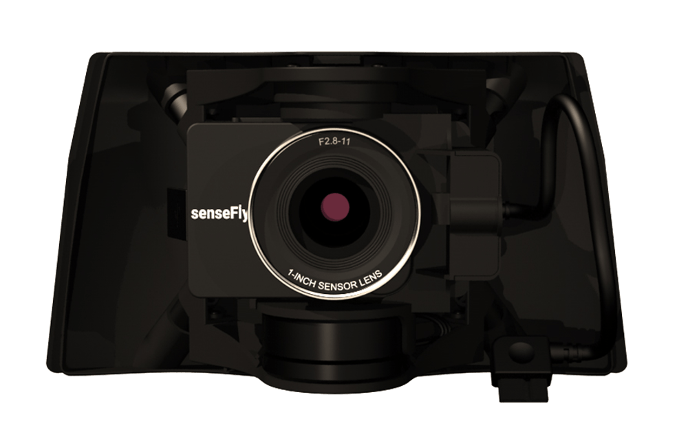
Sensors, software, and supporting kit.
CARTO CANADA, AUTHORIZED DISTRIBUTOR
Not sure which platform fits?
Our team has equipped agencies, contractors, and operators across Canada. We will help you pick the right aircraft, payload, and software for your operation, and stand behind it after the sale.